
.jpg)
The UN recently voted in support of a resolution to adopt a new world map that shows more accurately the size of Africa relative to other continents. The resolution was led by Togo’s Minister of Foreign Affairs, Robert Dussey, and backed by the African Union. There was considerable support for the resolution, with the only objection being from the United States, with its representative claiming it to be nothing more than a “radical ideological project”. But why does the way we physically represent the world matter in the first place?
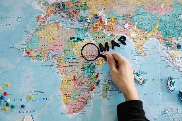
The Mercator Projection is the most widely used map around the world and is a constant presence in our everyday lives, from classrooms to various online platforms. Africa is the second largest continent in the world yet in this current projection, its size does not reflect this. As many are aware, Africa is fourteen times larger than Greenland but is shown to be of equal size in the Mercator Projection. Although the resolution is non-binding, it “encourages governments, schools, international organisations and technology companies to use the Equal Earth projection…when relative size matters, and to teach the limitations of any flat map in representing a spherical planet”. Dussey frames the initiative as a scientific issue, and although he is right to emphasise the technical basis of the resolution (as the size of Africa cannot be scientifically disputed), the broader consequences of this choice remain political, as it reveals deeper assumptions about Africa’s place in the world and how geographical centrality is understood.
Maps are treated as neutral representations of reality, but they are not objective pieces of paper. Maps are products of “cultural production governed by various rules and values”. They are the embodiment of choices about what is prioritised, and shape perceptions of what is central versus peripheral. This specific representation of the world has become the dominant way in which people encounter it. The United States’ dismissal of the initiative as a superficial project contributing to the United Nations’ lack of credibility is exactly what makes the debate important. US representative, Yaryna Ferencevych, stated “Instead of focusing on genuine problems…this body is debating map projects from the 16th century”, but if the current map is reflective of 16th century European perspectives, why should there not be an attempt to improve or correct this projection based on our developed understanding of geography and the relative sizes of continents? Despite advances in geographical knowledge, countries like the US continue to use and accept this projection without questioning the assumptions embedded within it. As Williams (2026) argues, “the map visually minimises the presence and importance of Africa in the eyes of the world”.
There is a degree of blind acceptance in our use of the Mercator Projection as we assume that this map portrays information as it actually exists. People often conflate relative size to importance, so when Africa is consistently portrayed as ‘small’ in the realm of global affairs, it can reinforce perceptions of the continent as less significant. This influences people’s beliefs and, in turn, policies that can either exclude or diminish Africa’s opportunities on the global stage. “The very drawing of a line signifies an assertion, an acceptance, or even a repudiation of power”, which is why it is crucial to acknowledge this flaw in helping to rectify the map’s contribution to the minimisation of Africa.
Maps are “social texts”, that shape collective perceptions of Africa’s contemporary position on the global stage. The adoption of this resolution reflects a broader effort for Africa to take greater ownership of how it is represented and understood - Africa did not ask to be made bigger, but to simply stop being made smaller. Multilateral institutions such as the United Nations should continue to move beyond reductive narratives or common assumptions about Africa, and as the continent’s economic and political weight grow, better informed global engagement will not only benefit the continent, but other countries as well.
.svg)
.svg)


.svg)
.svg)
.jpg)